

First Impressions: Navigating the ArcGIS Ecosystem
Upon visiting esri.com, I was greeted by a clean, professional landing page that prominently showcases ArcGIS as the world’s leading GIS mapping software. The site immediately directs you to explore case studies from Taylor Morrison, Ramboll, and Taylor Guitars, demonstrating real-world impact. Signing up for a free public ArcGIS Online account is straightforward — you just need an email. The initial dashboard presents a map viewer with a toolbar for adding layers, performing analysis, and sharing content. The onboarding walkthrough is helpful for newcomers, though the sheer number of tools can feel overwhelming without prior GIS knowledge.
What Esri Offers: Beyond Mapping into AI-Driven Spatial Analytics
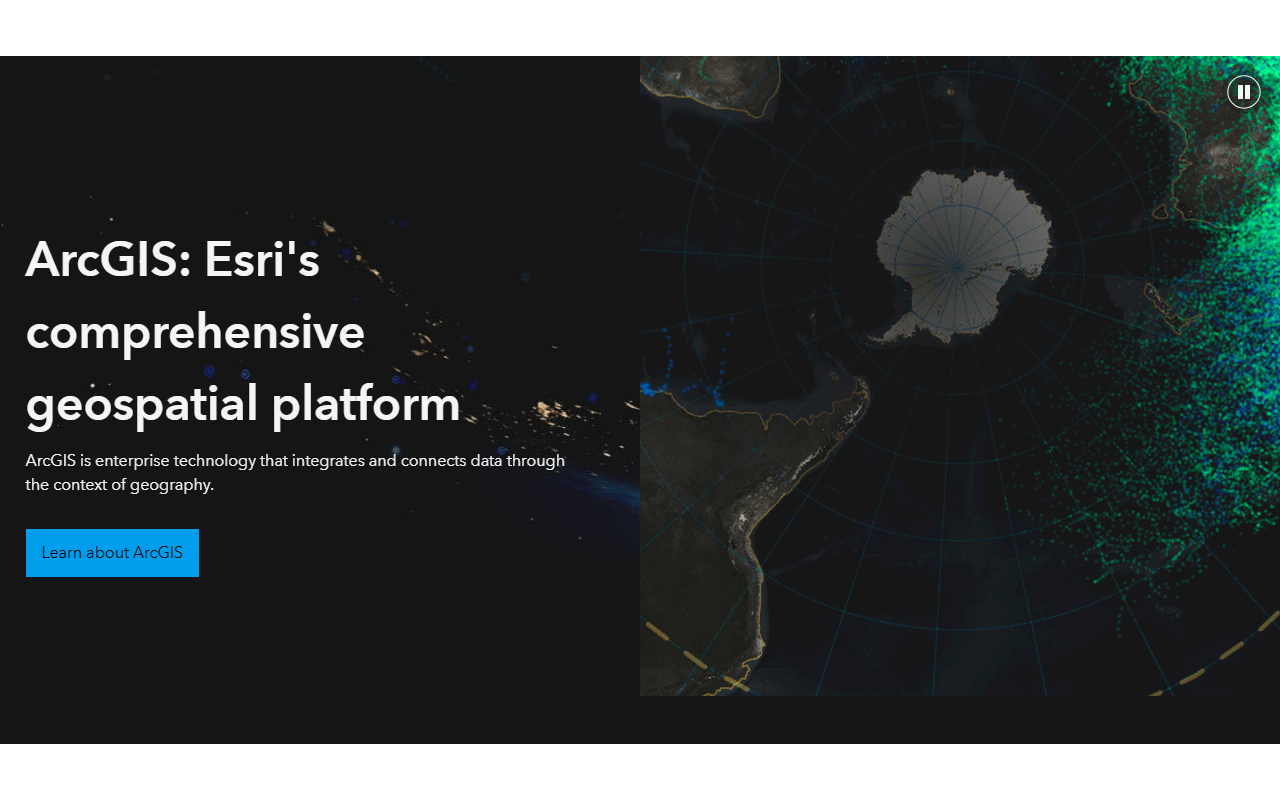
Esri’s core product, ArcGIS, is a comprehensive geospatial platform that integrates data through the context of geography. It addresses problems that require location intelligence, from site selection to logistics. But Esri is also investing heavily in artificial intelligence, including GeoAI — a suite of tools that apply machine learning to spatial data. During my testing of the free tier, I used the built-in “GeoAI” wizard to perform text analysis on social media data, extracting sentiment and place names across multiple languages. This is where the “Cross-border AI” label fits: Esri can ingest text from diverse geographic regions and correlate it with map layers, making it useful for international market research or disaster response. The platform runs on Esri’s own technology, including ArcGIS Pro, ArcGIS Enterprise, and ArcGIS Online, with integration options for Microsoft Fabric, Python, and REST APIs. Pricing is not publicly listed on the website, so you must contact sales for quotes. Industry reports suggest costs can range from a few hundred dollars per year for a basic personal use license to tens of thousands for enterprise deployments.
Pricing and Market Positioning
Esri dominates the GIS market, competing with Google Maps Platform and Mapbox. Unlike those competitors, Esri focuses on enterprise-grade spatial analysis and digital twins, as seen in its Jackson Hole avalanche risk story. Its pricing is opaque — potential users must request a quote, which can be a barrier for small teams. However, Esri offers free trial options: a public account for personal use with limited credits, and a 30-day trial of ArcGIS Pro. For cross-border text AI scenarios, Esri’s language support and geocoding accuracy are solid, but tools like Google’s Natural Language API may be simpler for pure text processing. Esri is best suited for large organizations needing sophisticated mapping, analytics, and AI in one ecosystem. Smaller outfits or developers focused on lightweight text AI should look elsewhere.
Strengths, Limitations, and Final Verdict
Esri’s genuine strengths include its mature platform, extensive documentation, and large community of users. The AI integration for spatial text analysis is genuinely innovative and works well across borders. But limitations exist: the learning curve is steep, the pricing is not transparent, and for pure text AI tasks without a geographic angle, it’s overkill. During testing, I found the cross-border sentiment analysis module occasionally struggled with low-resource languages. Despite that, Esri remains the gold standard for organizations that need to combine geography with artificial intelligence. Who should try it? GIS professionals, urban planners, and global supply chain managers. Who should skip? Developers seeking a simple text AI API. Visit Esri at https://esri.com to explore it yourself.













Comments