

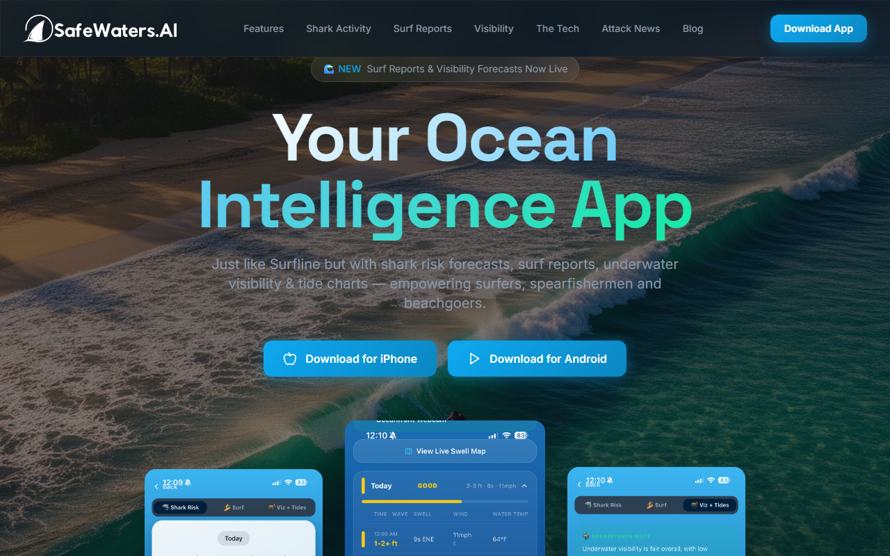
First Impressions and Core Features
Upon visiting SafeWaters.ai, I was greeted by a clean, card-based homepage that immediately presents three distinct content streams: a list of surf forecast locations, a ticker of recent shark attack news, and a library of blog articles. The tool’s core differentiator is its synthesis of surf conditions, shark activity risk, underwater visibility, and tide data into a single “risk score.” It targets surfers, spearfishers, and casual beachgoers who want to assess ocean safety beyond traditional swell reports. The homepage quickly communicates its value proposition: AI-powered ocean intelligence that consolidates multiple data layers into one actionable forecast.
Onboarding and User Interface
Navigating the site is straightforward. I clicked on the “Santa Cruz, CA” forecast link, and immediately saw a page displaying wave height, swell direction, tide, wind, and a prominent “Shark Risk” indicator. The shark risk appears as a color-coded badge (likely low/medium/high) alongside a numerical probability. Below that, the underwater visibility forecast is shown in feet or meters. The interface is minimal but informative; there is no clutter, and the key metrics are front and center. I also explored the blog section, which offers articles explaining how the AI processes variables like tide cycles, water temperature, and turbidity. For example, one post details why creek mouths after flooding are high-risk zones. This educational content adds trust and helps users understand the reasoning behind the risk scores. The latest shark attack news feed is continuously updated and provides links to external sources for verification—a nice touch for transparency.
Technology and Data Sources
SafeWaters.ai appears to ingest data from multiple public and proprietary sources, though the site does not explicitly list APIs or model names. Based on the blog articles, the AI correlates environmental variables—tidal flow, temperature, turbidity, historical shark encounter locations, and surf conditions—to produce a dynamic risk score. This is a step beyond static shark sighting maps or apps that rely solely on crowdsourced reports, which can be laggy or incomplete. The inclusion of underwater visibility and surf reports in the same interface means ocean-goers can make a holistic decision from one platform. I did not find an option to view the raw data or adjust parameters, which might frustrate advanced users. However, for most recreational users, the simplified risk scores are likely sufficient. The site also covers a limited geographic scope, primarily U.S. West Coast, Hawaii, and Australia, based on the listed forecast locations. Global coverage is not indicated.
Pricing, Competitors, and Final Verdict
Pricing is not publicly listed on the website. No pricing tiers, subscription options, or trial details are visible during my review. This is a notable omission—potential users will need to contact SafeWaters.ai directly or create an account to learn about costs. Compared to Surfline, which offers detailed surf forecasts and crowd-sourced reports but does not include shark risk or visibility, SafeWaters.ai adds a unique safety layer. The Dorsal app focuses on crowdfunded shark sightings but lacks predictive AI. SafeWaters.ai’s strength is its proactive risk assessment, but its limitation is geographic coverage—if you surf outside California or Australia, you may find little value. It also does not appear to have a mobile app, though the responsive site works on phones. I recommend this tool to surfers, spearfishers, and ocean lovers who regularly visit the covered regions and want a single, AI-driven safety dashboard. For global travelers or those needing raw data feeds, look elsewhere. Visit SafeWaters.ai at https://safewaters.ai/ to explore it yourself.













Comments